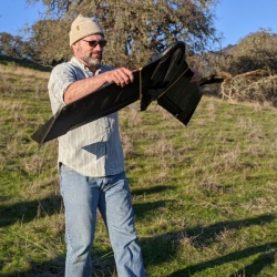
Shane Feirer
Shane Feirer is the head of the GIS Service Center within IGIS, where he manages dozens of GIS projects for UC researchers. Based at the Hopland Research and Extension Center, Shane has a broad background in GIS applications for natural resources. As an IT manager, he maintains GIS and remote sensing software for UCANR, and is the architect of an online drone data repository based on ArcGIS Portal. At Hopland, Shane coordinates a longitudinal post-fire vegetation monitoring program with repeated drone imagery. His favorite drone is the Phantom IV Pro.


