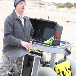
Pat Iampietro
Pat Iampietro is the Marine Geospatial Technology Officer at Cal State Monterey Bay. He administers and supports all geospatial software on the campus, represents CSUMB on the CSU GIS Specialty Center Board of Directors, and Chairs the campus UAS Safety Committee. With a background in hydrography | marine biology | GIS, he specializes in marine scientific instrumentation including MBES, sidescan, and sub-bottom profiling SONARs, still and video camera systems, ROV, USV, UAS, GPS and attitude sensors, scanning LiDAR, and other systems. His research primarily focuses on the use of terrain analysis in predictive species-habitat relationship modeling. He loves all drones equally.


