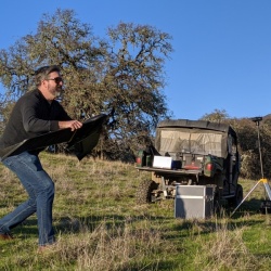
Robert Johnson
Robert Johnson is a GIS Programmer and Analyst with IGIS. Based at the Kearney Research and Extension Center, he has a broad background in all things GIS and specializes in programming and custom application development. He supports IGIS drone projects through flight operations, data management, post-processing, and equipment maintenance and repairs. An expert with the new ArcGIS Pro, Robert has developed many of the exercises at IGIS workshops. He holds a Part 107 Remote Pilot License, and his favorite drone is the DJI Inspire 1.


