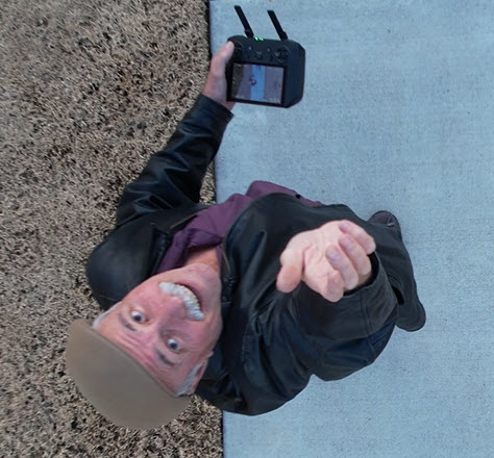
Paul Veisze
An FAA Remote Pilot since 2018, Paul is a five-time Drone Camp alumnus, joining as a Flight Instructor in 2022, teaching hands-on, first-time flyers.
Paul’s 30 years of geospatial experience ranges from wildland fire field research to industrial aerial photography and FAA Instrument/Commercial Pilot certification. In California, Paul worked 26 years in GIS for Fish and Wildlife, Emergency Services, and State Parks, while teaching Data Acquisition in GIS part-time at American River College. Since 1999, Paul has facilitated over 425 original student Projects on spatial data applications.

